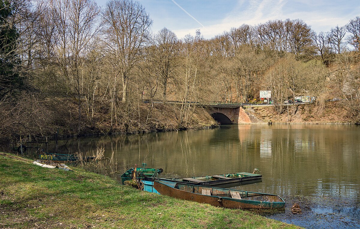
A bridge within a hiking landscape
Pont Misère lies in the Upper Sûre Valley and connects Arsdorf and Boulaide. Built in 1850, the bridge marked an important development for the region and remains a key crossing within an area shaped by movement on foot.
In 1944, during World War II, the bridge was destroyed by the Nazis. At the end of the hostilities, it was rebuilt by prisoners of war, restoring its function and marking the site as a symbol of resilience.
Today, many hiking trails pass through Pont Misère, making it a natural point of connection between landscape, history, and outdoor exploration.
Stories
Locally known as “Misärsbréck”, the bridge carries a name that hints at its mysterious past. Over the years, legends have grown around the site, giving it an air of intrigue.
One tale tells of a man who was blown off the bridge by a sudden strong wind, falling into the water below. Another recounts how a cart loaded with goods broke while crossing, causing its contents to fall into the river. These anecdotes, passed down over time, contribute to the bridge’s mysterious reputation.
Hiking through the Upper Sûre Valley
Boulaide is part of the Éislek region, which holds the title of “Leading Quality Region – Best of Europe” for hiking. The area is known for its dense forests, rolling hills, and rugged terrain, offering a wide variety of landscapes for walkers. The network of trails around Boulaide is suitable for all levels, from beginners to experienced hikers, and the paths are well marked and maintained.
Several important routes pass through the Pont Misère area, linking the bridge to the wider hiking network of Boulaide. Trails such as the Éislek Pad Boulaide, Local Hiking Trail BL1 Surré, and Local Hiking Trails BL2–BL4 Boulaide allow hikers to move through forests, valleys, and historic sites while discovering the region step by step.
The European long-distance hiking trail E3, which stretches across Europe, also crosses Luxembourg along the Sûre River near Boulaide, connecting local paths to an international route.
Nature protection and discovery
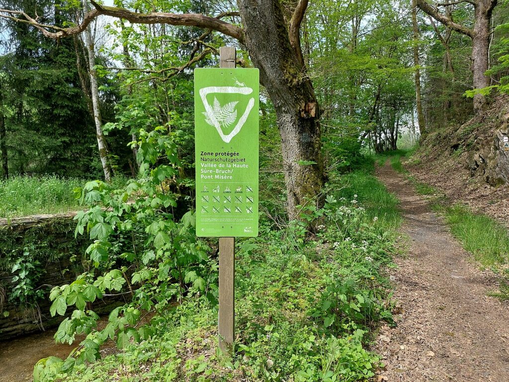
Pont Misère lies close to the Bruch Nature Reserve, one of the country’s largest and most ecologically significant protected areas. The reserve includes mixed forests, wet valley bottoms, and the Sûre River itself, supporting a wide range of plant and animal life, including rare and endangered species. Broadleaf trees such as oak and beech dominate the landscape, while birds like the black stork and the red kite can be found in the area.
The interactive Natur Pur? trail guides visitors through the “Bruch – Pont Misère” nature reserve, combining hiking with environmental education. Ecological projects such as the renaturation of the Schlam Mauer stream have restored natural water flow and improved the ecological quality of the surroundings. Conservation efforts are overseen by the Water and Forest Administration and the Upper Sûre Nature Park, with a focus on habitat protection, sustainable agriculture, and responsible recreational use.
Pont Misère stands as both a historical crossing and a gateway into Boulaide’s hiking landscape. As trails pass over and around the bridge, they link stories of the past with protected nature and active exploration.